The Texas Comptroller does not treat Texas as one economy. Its regional reports divide the state into twelve economic regions, from the High Plains around Amarillo and Lubbock down to the Upper Rio Grande at El Paso, each with its own mix of industries, wages, and population trends. Read side by side, those twelve profiles make a point a single statewide average hides: what Texas is depends heavily on which part of it you are standing in.
The triangle where most Texans live
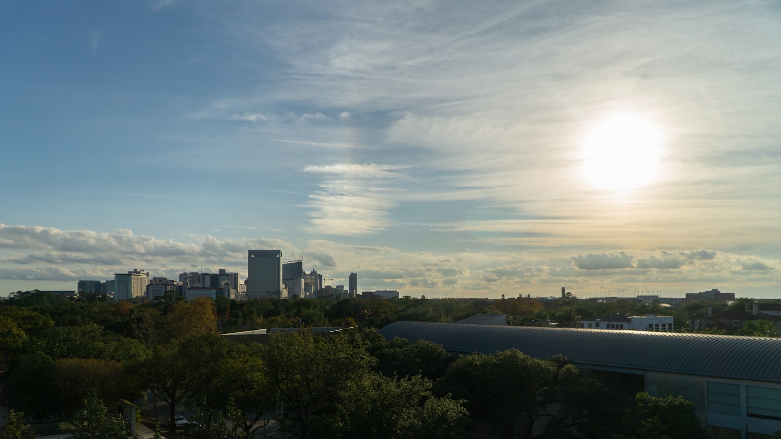
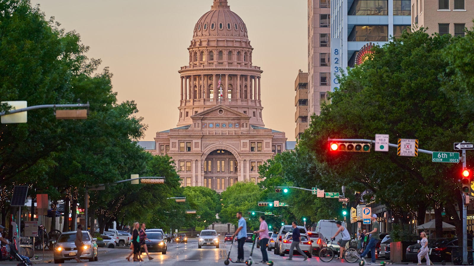
Start with the ground most residents actually occupy. A rough triangle drawn between Dallas and Fort Worth, Houston, and the San Antonio to Austin corridor holds the large majority of the state's population and most of its recent growth. The Comptroller's Metroplex, Gulf Coast, Capital, and Alamo regions sit inside or along that shape, and they are where jobs in finance, technology, health care, and logistics cluster. When national coverage says Texas is booming, it is usually describing this triangle, not the state as a whole.
The triangle's defining problem is success. People and employers arrive faster than housing, roads, and water systems can absorb them, which turns growth itself into the central challenge, the tension at the heart of our reporting on urban growth and rural sustainability. The metros end up competing for the same water and the same infrastructure dollars even as they pull ahead of the rest of the state economically.
The border is its own economy
South and west of the triangle, the map changes character. The Comptroller's South Texas and Upper Rio Grande regions run along the Mexican border, and trade shapes their economies in a way the interior's are not. The Laredo customs district alone moves more goods than any other land port in the country, over 300 billion dollars of trade in 2024 by the Comptroller's count, most of it riding trucks between plants that operate on both sides of the river as one production line.
That gives the border regions a distinctive profile: younger, faster-growing in places, and more exposed to the swings of cross-border manufacturing and the value of the peso. The trade that flows through here does not stay here, though. It climbs north into the same interstates the rest of the state depends on, a link we trace in our coverage of Texas freight and trucking.
The Panhandle and the plains
Turn north and the density drops away. The High Plains region around Amarillo and Lubbock is agricultural country, cattle, cotton, and grain spread across counties that measure population in the thousands rather than the millions. Its challenges are close to the opposite of the triangle's: not how to absorb newcomers but how to hold on to young people, keep a rural hospital open, and farm through a declining water table as the Ogallala Aquifer is drawn down faster than it recharges.
The plains show why a single statewide policy rarely fits every region. A water strategy written for booming suburbs has little to say to a cotton county worried about the aquifer, and a jobs program aimed at urban technology does not reach a town whose main employer is a feedlot.
East Texas and the Gulf Coast
Eastward the landscape and the economy shift again. The Comptroller's Upper East and Southeast regions, the piney woods and the refining belt around Beaumont and Port Arthur, carry an older industrial base of timber, petrochemicals, and energy. The Gulf Coast region centered on Houston layers a vast petrochemical complex and a major port on top of that, making it both an economic engine and the part of the state most exposed to hurricanes and industrial risk.
These are not boomtowns in the Austin sense, but they are not the emptying plains either. They are mature economies whose questions are about maintaining and modernizing an aging industrial base rather than managing runaway growth, which is a different kind of pressure and a different kind of budget.
West Texas runs on energy
Far to the west, the Midland and Odessa area sits atop the Permian Basin, and its fortunes rise and fall with the price of oil. The Comptroller's West Texas region can post some of the highest wages in the state during a drilling boom and some of the sharpest reversals when prices drop. It is the clearest example of a regional economy tied to a single commodity, prosperous and precarious in the same breath.
What ties the twelve together
For all those differences, the regions are not separate countries. They share a water supply, a highway network, a power grid, and a state budget, which means a shortage or a shock in one shows up in the others. The abstract idea of statewide growth only means something once it is broken down to the places where people actually live and work, the argument we make in what economic growth really means at the community level. A total that reads as prosperity in the aggregate can hide a booming suburb and a hollowing-out county inside the same figure.
That is the case for reading Texas as a set of regions rather than a single block. The shared challenges, water, roads, an aging grid, and a growing population, are real, but they arrive in each region on different terms, and a snapshot of the state's overall growth only becomes useful once you ask which of the twelve it is describing. The Across Texas desk covers the state and its parts in the same breath, because neither makes full sense without the other.